
Coordinate Systems and
Geoid Support
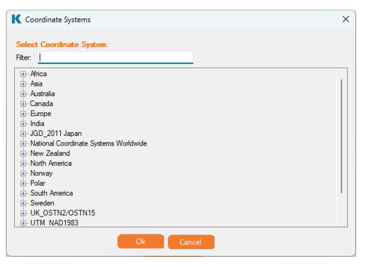
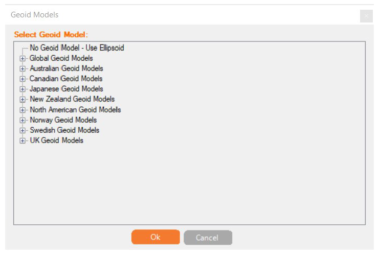
Coordinate systems define how geographic data is represented on a flat surface, making sure location data remains meaningful and accurate. KlauPPK UAV supports over 1,400 coordinate systems, including global, national, and state/regional options along with more than 20 geoids for vertical reference. Users can select one that meets their mapping standards or project requirements. To simplify navigation, supported systems are grouped by region, as shown in the screenshot below.
For a list of supported coordinate systems and geoids, please visit: https://cdn.geomatics.com.au/klauppk-uav/KlauPPK_UAV_CoordinateSystems.pdf

Process your next flight with KlauPPK
Start a 14 day, full-function trial and test KlauPPK with your own project data. No credit card required.