
How to Do UAV Mapping with PPK
Practical guidance for getting accurate, defensible results from UAV mapping.
Understand PPK, RTK, base stations, CORS, ground control and coordinate systems — and how the decisions you make in the field affect the accuracy of your final mapping.
Start with the fundamentals or jump directly to the topic you need.
New to PPK?
If you're using an RTK-capable mapping drone but aren't sure where PPK fits into your workflow, start with these fundamentals.
PPK vs RTK
Understand the practical difference between correcting positions during the flight and processing them afterwards — and when each approach makes sense.
PPK vs PPP
Both are post-processing techniques, but they solve different problems. Understand the role of local reference data, precise global corrections and where each method fits.
How UAV PPK works
From GNSS observations and camera event timing through to corrected camera coordinates and photogrammetry.
Getting corrections right
Where do my corrections come from?
Accurate PPK depends on suitable reference data. Learn how to choose the right source for your project.
CORS networks
Understand permanent reference stations, coverage and what makes a CORS station suitable for your flight.
Using your own base station
When a local receiver makes sense and what needs to be recorded.
How far can my base station be from the drone?
Understand baseline distance and why the nearest station isn't automatically the best station.
Finding base data for PPK
Compare public CORS, commercial networks and your own receiver.
How Accuracy is your mapping?
Good positioning isn't just about getting a FIX. It's about understanding the quality of the result.
Learn how positioning accuracy, ground control, checkpoints and photogrammetry work together.
Do I still need GCPs with PPK?
Understand the difference between using control to constrain a model and checkpoints to independently verify it.
Accuracy vs precision
Why repeatable coordinates aren't necessarily accurate coordinates.
What does FIX / FLOAT mean?
Understand GNSS solution status and what it tells you—and doesn't tell you—about your project.
How should I verify a PPK survey?
A practical approach to independent checks and defensible reporting.
Getting the coordinates right
Accurate GNSS positions still need to be delivered in the coordinate system and height reference required by the project.
Coordinate systems explained
Global, national, regional and projected coordinate systems.
Ellipsoidal vs orthometric height
Why the height produced by GNSS may not be the height your client expects.
What is a geoid?
How geoid models relate GNSS positioning to practical project heights.
Working with local site coordinates
Site localisation for mining, construction and established project grids.
When things don't go to plan
PPK is particularly valuable when something has gone wrong.
I lost RTK during my flight. Can I recover it?
Why am I getting FLOAT solutions?
My CORS data doesn't cover the whole flight
My camera positions don't match my control
Do I need to re-fly?
Working with your drone
PPK workflows vary between aircraft. Find guidance specific to the platform you're flying.
Ready to try it on real data?
Understanding the workflow is useful.
Processing your own mission is better.
KlauPPK gives you 14 days of full functionality to process your own UAV data, inspect the positioning solution and export the results.
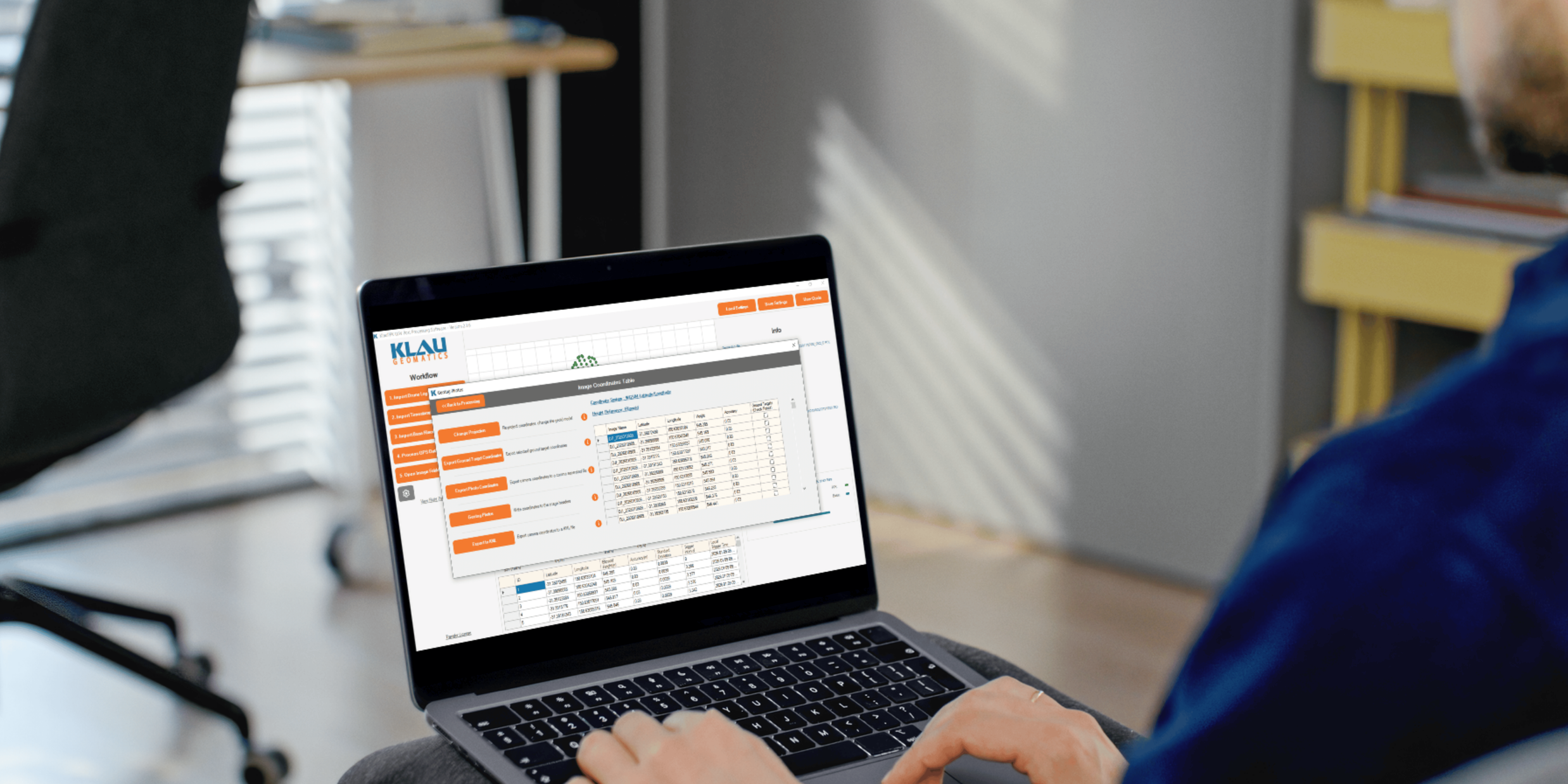
Process your next flight with KlauPPK
Start a 14 day, full-function trial and test KlauPPK with your own project data. No credit card required.