
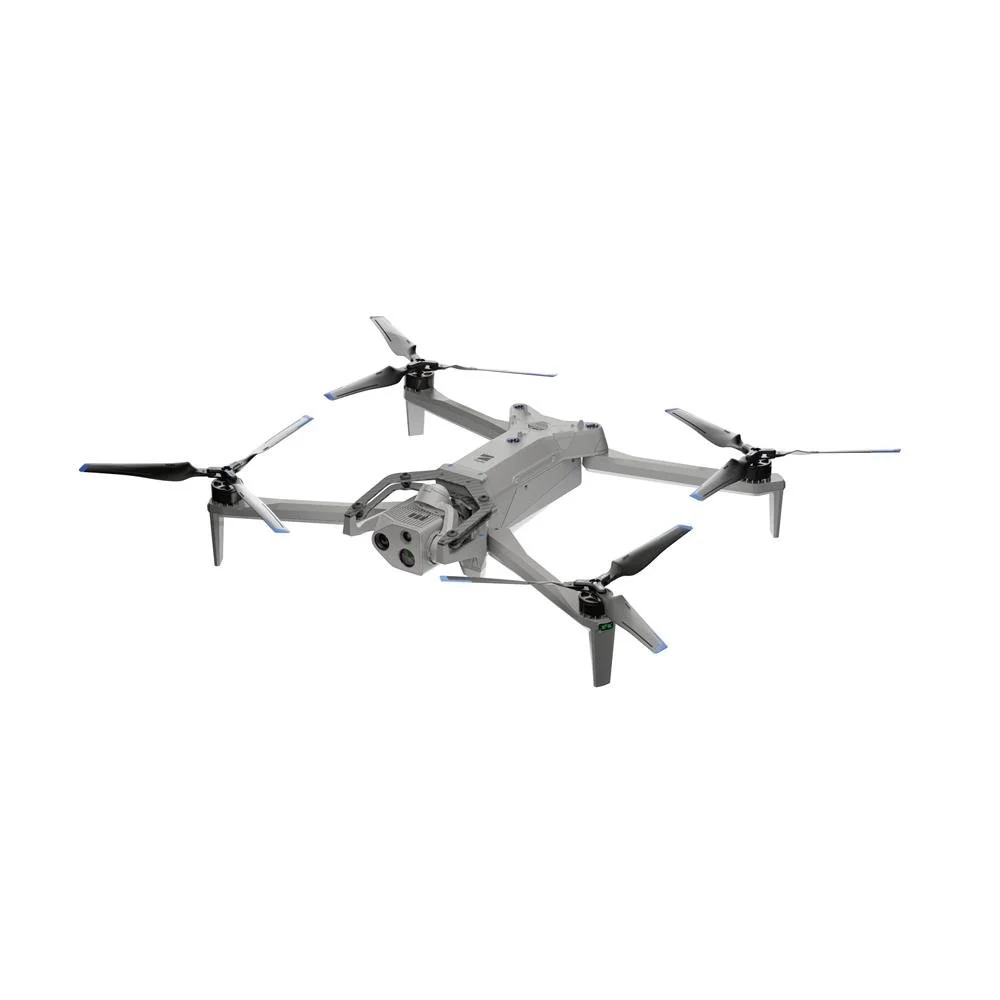
PPK processing for the Skydio X10
KlauPPK brings teams evaluating mapping accuracy and non-DJI workflows into a professional post-processing workflow. Use recorded flight observations and suitable base data to calculate camera positions after the mission, review the result and prepare it for mapping.
The Skydio X10 workflow
Confirm the supported X10 mapping configuration, retain the complete mission dataset and process it with suitable correction data and project settings.
What KlauPPK adds
Integrated access to supported CORS data, with the option to import your own RINEX base observations.
Multi-pass processing tools for difficult or incomplete solutions.
Supported coordinate systems, geoids, vertical-datum and localization workflows.
Quality review plus geotagged imagery or coordinate-file exports for supported mapping software.
A clear compatibility check
Use measured checkpoints, not generic accuracy language, when a verified case study becomes available.
Is it right for your work?
KlauPPK is intended for professional mapping teams that need more than approximate image locations. If a quick coordinate check meets the job requirement, a free tool may be sufficient. If the output must enter a controlled mapping workflow, evaluate KlauPPK on a representative project.
What to prepare
Keep the complete mission folder exactly as exported from the aircraft, the imagery and any base-station observations. Check the current documentation for the exact files required for this model and firmware.
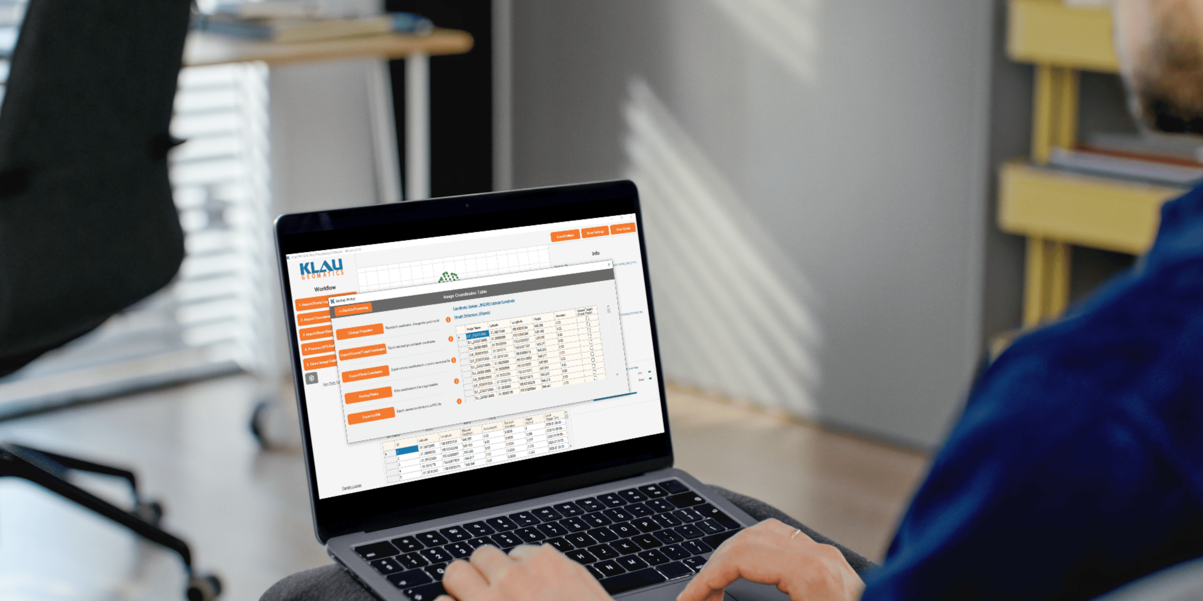
Process your next flight with KlauPPK
Start a 14 day, full-function trial and test KlauPPK with your own project data. No credit card required.