
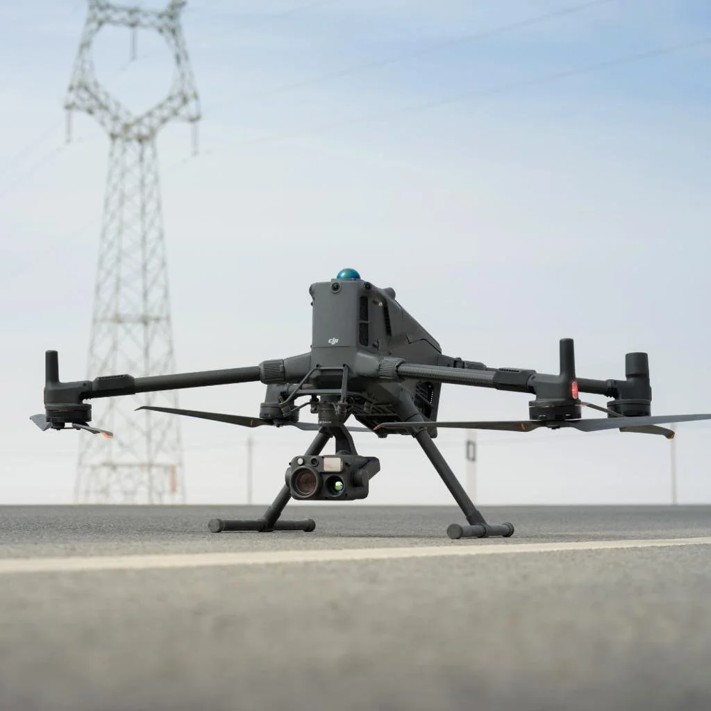
Getting More from Matrice 400 PPK Data
The DJI Matrice 400 is built for demanding enterprise and mapping missions, but achieving the best possible positioning result still depends on how the recorded GNSS data is processed.
Complex datasets, correction data availability and varying GNSS conditions can all influence the quality of the final PPK solution.
KlauPPK is optimised to process Matrice 400 data, using advanced multi-pass processing to evaluate and refine the solution rather than relying on a single processing pass.
With KlauPPK, Matrice 400 users can:
Apply multi-pass optimisation to challenging PPK datasets
Automatically access supported CORS network data
Use observations from their own base station
Review positioning quality and processing results
Work in the required coordinate system and geoid
Prepare accurately positioned outputs for downstream mapping workflows
Your Matrice 400 is built for complex missions. KlauPPK helps you get the best possible positioning result from the data it captures.
PPK processing for the DJI Matrice 400
PPK processing for the DJI Matrice 400
KlauPPK brings long corridors, large sites and multi-battery work into a professional post-processing workflow. Use recorded flight observations and suitable base data to calculate camera positions after the mission, review the result and prepare it for mapping.
The DJI Matrice 400 workflow
Keep the files from every flight together, use a consistent correction-data and datum workflow, process each supported flight and review the outputs across the job.
What KlauPPK adds
Integrated access to supported CORS data, with the option to import your own RINEX base observations.
Multi-pass processing tools for difficult or incomplete solutions.
Supported coordinate systems, geoids, vertical-datum and localization workflows.
Quality review plus geotagged imagery or coordinate-file exports for supported mapping software.
A clear compatibility check
Multi-flight support is in final testing; M400 operators can register for beta access.
Is it right for your work?
KlauPPK is intended for professional mapping teams that need more than approximate image locations. If a quick coordinate check meets the job requirement, a free tool may be sufficient. If the output must enter a controlled mapping workflow, evaluate KlauPPK on a representative project.
What to prepare
Keep the complete mission folder exactly as exported from the aircraft, the imagery and any base-station observations. Check the current documentation for the exact files required for this model and firmware.
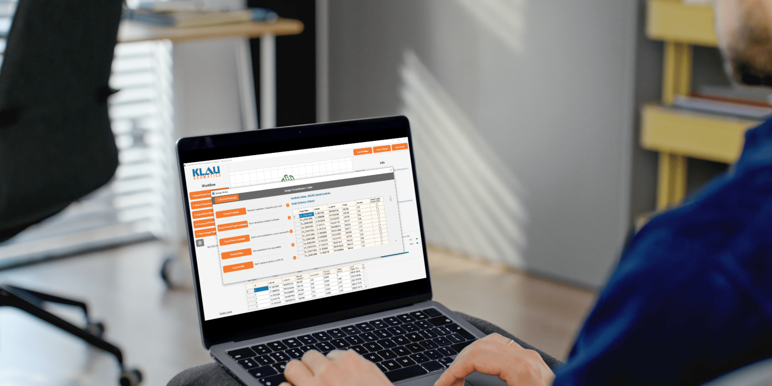
Process your next flight with KlauPPK
Start a 14 day, full-function trial and test KlauPPK with your own project data. No credit card required.